| |
Historical Maps
Peter's Colony Maps Available Thru the
Texas General Land Office
Carrollton &
Farmers Branch
TXGenWeb |
Home > Historical Maps
and Land Grants > General Land Office Maps
The General Land Office (GLO) website is a slow in pulling up
map images so be patient. I have copies of the map images loaded here for
a quick viewing. Map copies and deed papers can be purchased from the GLO
online or in person. I have purchased several Peters Colony maps and other
county maps and am extremely pleased with the quality of the image and paper.
They are very helpful and friendly people. I would recommend you give them a
visit if you are in Austin Texas, their offices is at 17th and Congress, Suite
130, the next building to the North of the Bob Bullock Museum.
Detailed Map descriptions and pricing can be found in the
Historic Maps Section
of the GLO Website
...ed
| MAP
IMAGE |
DESCRIPTION |
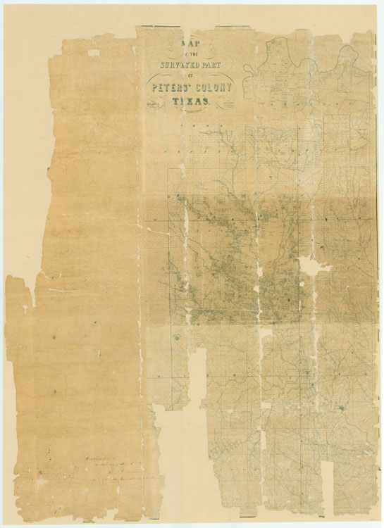
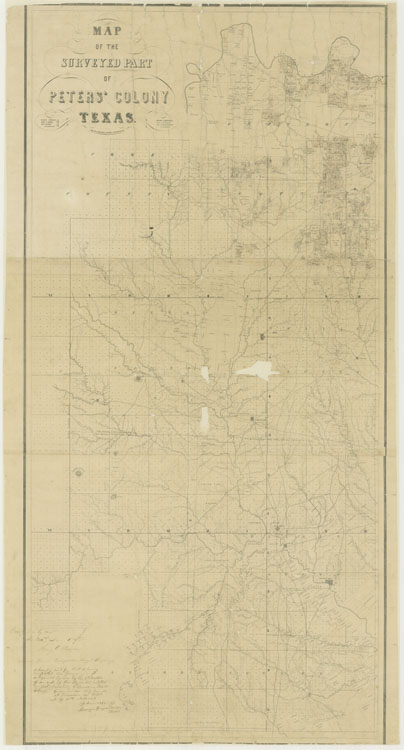
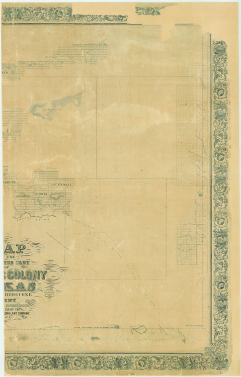
| Map #1964 |
1852 Map of the Surveyed Part of Peters Colony |
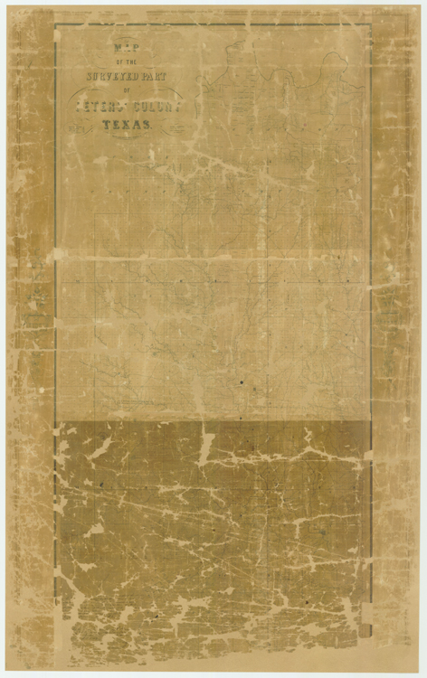
| Map #1965 |
1852 Map of the Surveyed Part of Peters Colony
IN RESTORATION, NOT CURRENTLY AVAILABLE |
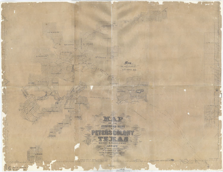
| Map #1966 |
Centers on Denton County and includes portions of Collin, Cooke,
Dallas, Grayson Tarrant, and Wise Counties.
Certified on June 24, 1852 by Henry O. Hedgcoxe, Agent of the Texas
Emigration Land Company.
Conserved in 2004 with donation from the Denton County Historical
Commission. |
| Map #1967 |
| General Features: |
Western part of Peters Colony centered on Palo Pinto
County showing surveys, abandoned surveys, waterways, roads,
surveying monuments, and connecting lines. |
| Named Features: |
Fort: Belknap
Roads: Marcey’s, from Preston to Belknap, to Belknap, to
Fort Worth, Fort Graham to Fort Belknap, Phantom Hill,
California, California Trace
Steni's Indian Agency, Barnard's trading house |
|
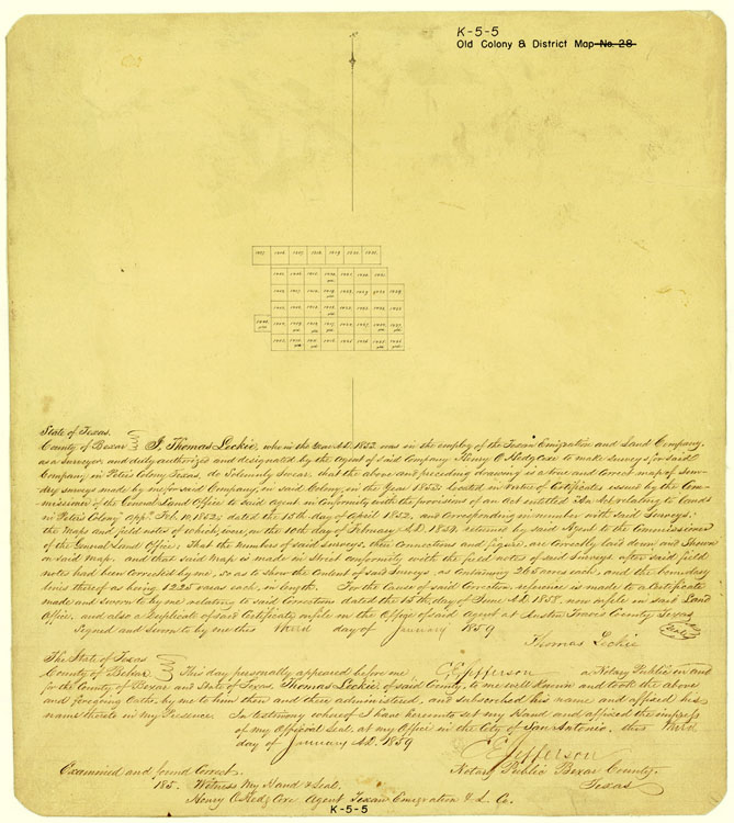
| Map #1969 |
Intended as a correction and part of the General Map of their
surveys returned by said company to the General Land Office of the
State of Texas on the tenth day of February, 1854. |
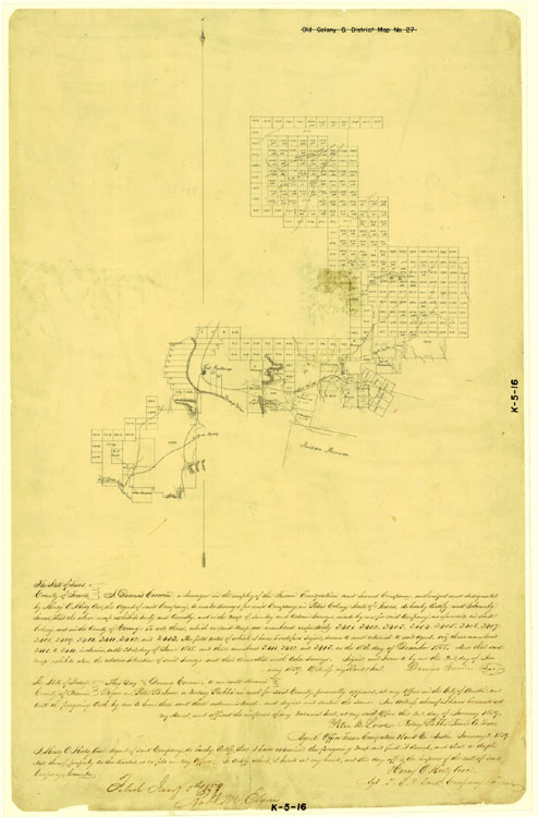
| Map #1982 |
1858 Map of the Surveyed Part of Peters Colony |
| Map #1983 |
1858 Surveys Made for Texas Emigration and Land Company |
| Map #1984 |
1859 Surveys Made for Texan Emigration and Land Company |
| Map #1985 |
1859 Surveys Made for Texan Emigration and Land Company |
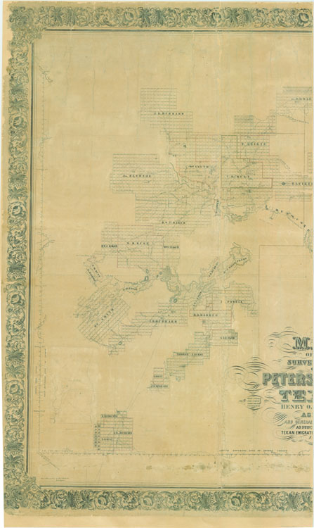
| Map #3155 |
Lithograph with manuscript overlays. Drawn during time of a
conflict between colonists and Henry O. Hedgcoxe, the land company
agent, known as the Hedgcoxe War.
Includes parts of Collin, Cooke, Dallas, Denton, Grayson, and
Tarrant Counties.
Conserved in 2002 with donations from Farmers Branch Historical Park
and the Farmers Branch Historical Preservation and Restoration Board |
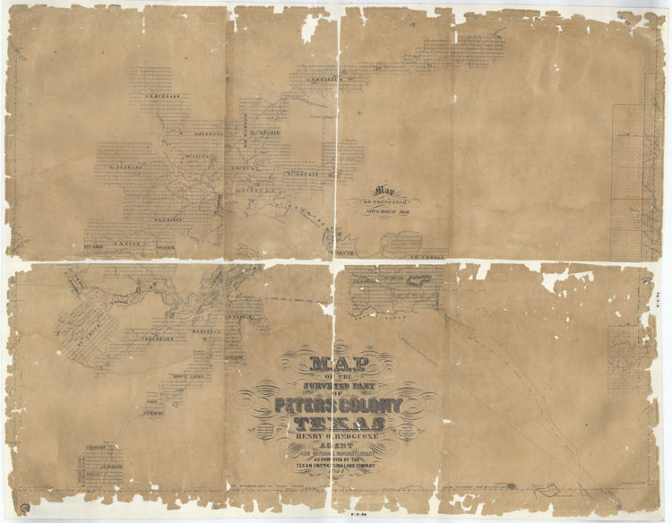
| Map #4653 |
1854 Map of the Surveyed Part of Peters Colony |
| Map #4654 |
1852 Map of the Surveyed Part of Peters Colony |
| Map #83007 |
| General Features: |
Western part of Peters Colony centered on Palo Pinto
County showing surveys, abandoned surveys, waterways, roads,
surveying monuments, and connecting lines. |
| Named Features: |
Fort: Belknap
Roads: Marcey’s Road, from Preston to Belknap, to Belknap,
to Fort Worth, Fort Graham to Fort Belknap, Phantom Hill
Road, California Road, California Trace
Steni's Indian Agency, Barnard's trading house |
| Comments: |
Adopted and conserved in 2006 by the Dallas
Genealogical Society and Friends of the Texas General Land
Office. Conserved in two pieces, 83007 the west part and
83008 the east part. See 1967 for digital composite |
|
| Map #83008 |
| General Features: |
Western part of Peters Colony centered on Palo Pinto
County showing surveys, abandoned surveys, waterways, roads,
surveying monuments, and connecting lines. |
| Named Features: |
Fort: Belknap
Roads: Marcey’s Road, from Preston to Belknap, to Belknap,
to Fort Worth, Fort Graham to Fort Belknap, Phantom Hill
Road, California Road, California Trace
Steni's Indian Agency, Barnard's trading house |
| Comments: |
Adopted and conserved in 2006 by the Dallas
Genealogical Society and Friends of the Texas General Land
Office. Conserved in two pieces, 83007 the west part and
83008 the east part. See 1967 for digital composite. |
|
|
Notes:
|
|---|